|

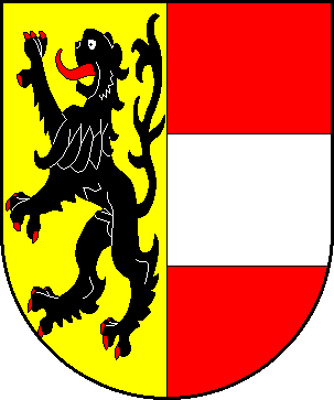
Salzburg is one of the nine states of Austria. Salzburg borders Germany to the northwest, Tyrol to the west, Italy and Tyrol to the southwest, Carinthia to the southeast, Styria to the east, and Upper Austria to the northeast. The capital of the state is Salzburg. It is 7,154 km2 and has more than 515,000 inhabitants, making it the sixth largest state and the seventh most populated.
History[]
The Archbishopric of Salzburg was an independent state of the Holy Roman Empire which ruled much of the territory of the modern state and beyond. In 1213, the Archbishops were princes of the Empire. In 1803, the Arhcbishopric was secularised as the Grand Duchy of Salzburg but by the Treaty of Pressburg. In 1805, it was abolished and annexed to Austria. In 1809, Salzburg was annexed by Bavaria, but it was returned to Austria by the Congress of Vienna in 1816. In 1850 it formed an independent territory in the Austrian Empire, and it formed a crownland of the Austro-Hungarian Empire from 1867.
Following the defeat of Austria-Hungary during World War I, a referendum was held in 1921 in which the people refused to join Germany and instead Salzburg formed a state of Austria. German soldiers occupied Salzburg during the Anschluss on 13 March 1938. During World War II, the city was bombed and the cathedral was destroyed, but most of Salzburg's baroque architecture survived and is the architecture is still sitting.
| States of Austria |
|---|
| Burgenland | Carinthia | Lower Austria | Salzburg | Styria | Tyrol | Upper Austria | Vienna | Vorarlberg |
| Austro-Hungarian Empire |
|---|
| Cisleithania |
| Bohemia | Bukovina | Carinthia | Carniola | Dalmatia | Galicia and Lodomeria | Littoral Lower Austria | Moravia | Salzburg | Silesia | Styria | Tyrol | Upper Austria | Vorarlberg |
| Transleithania |
| Croatia-Slavonia | Hungary | Rijeka |
| Bosnia and Herzegovina |